Wanted to share/store my thoughts on why we bought a UAV (drone, quad-copter whichever you call it), and what we are looking to get out of the experience.
From: http://www.modellhobby.de/k_staufenb_e/prodpic/DJI-Phantom-2-RTF-with-Zenmuse-H3-3D-GoPro-3-Gimbal-2300015_b_3.JPG
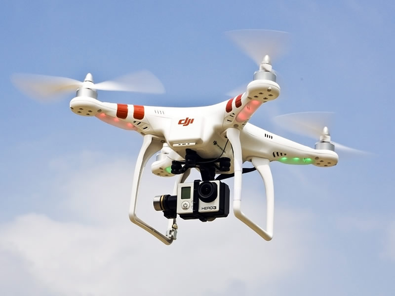
The setup is the phantom 2 with 3 axis gimble, gopro 3 black camera and ipad ground station.
We are really interested in capturing Ortho-photography for GIS work. We may also explore DEM creation with photogrammetry. We are NOT interested in aerial photography (i.e. a photography business).
The DJI ground station allows waypoint setting, so that you can pre-plan a route and the drone will then fly the route (capturing photos) without any input from the user. I.e. fly at exactly 50m height at 15 mph and cover this area with photographs. We decided to purchase this upgrade over FPV (first person view/flying capability), because route planning and automated flying is much more important for our use.
Some things that we are interested in "proving out":
- Workflow. What is the workflow for creating an ortho from this platform? What software, etc...
- Accuracy/Quality - How good does the ortho look? Can it be geo-referenced reasonably well? Does the end product look good? Or does it look like it was taken from an unstable drone...
- Value. How much work can be completed in a day? If I could charge for this service, would the amount of work I can complete in a day be 70 dollars worth? Or 700?
- Opportunities. what are the BEST opportunities to make use of a drone? What markets would value the most from having "fresh" aerial ortho-photography of relatively small areas.
I will post more as we explore this.

