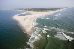
"The Point," BHI, NC
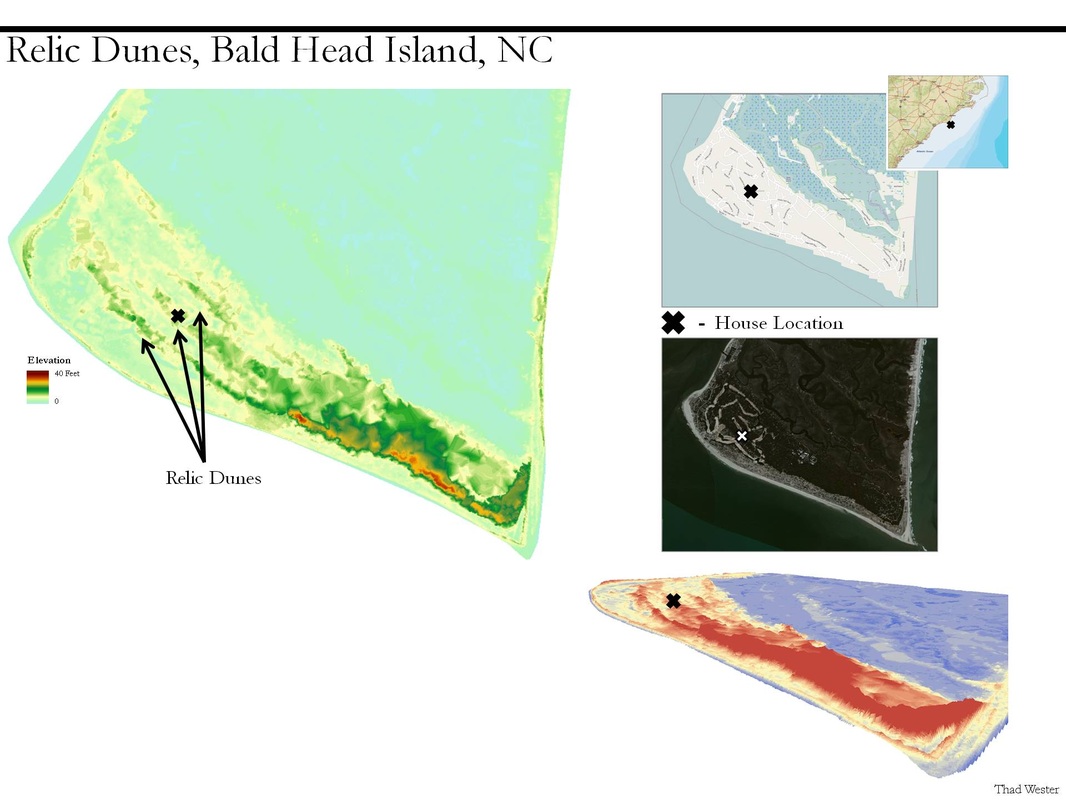
I was approached by a resident of Bald Head Island, North Carolina (BHI) and questioned about the different dune ridges that span the island, and in particular the dune ridge than runs beneath their house. So I mapped the island to determine the location of the dune ridge and possibly shine some light on their history. I have a background in Geomorphology (the study of how landscapes change), so I also provided some information regarding the processes that have worked (and are still working) to shape BHI.
*Relic Dunes - inactive (static) dunes
BHI's East facing beach is a thin inland migrating barrier island. At the tip of East beach lies one of the three capes in North Carolina (Cape Fear) and the starting point for frying pan shoals which extends 30 miles into the Atlantic Ocean. The opposite side of the island borders the mouth of the Cape Fear River, and this provides a significant control for sand and sediment movement on the West and South Facing beaches.
The relic dune ridges on BHI are interesting because they are so much larger than any of the active dunes on the island. This would suggest a much different environment when they were being formed. If a wider beach existed, it would have provided the sand needed in order to form the larger dunes. Just a theory though.


