Thad Wester
  • Home
  • School Experience
    • Research>
      • GAP Fire
      • Station Fire
      • Pea Island
      • TLS of a Forest
      • Chalk Cliffs
      • Masters Thesis
    • Terrestrial Laser Scanning>
      • USS North Carolina
      • Schooner Virginia
      • Debris Basins
      • Point Cloud Modeling
  • Contact Information
  • Blog

Geography


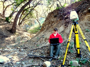
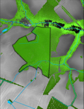
I hold an B.S. (2009) and M.A. (2011) in Geography. I have a keen interest in Geomorphology. My research goals have focused on understanding the initiating factors for debris flows within recently burned basins in Southern California.


Picture
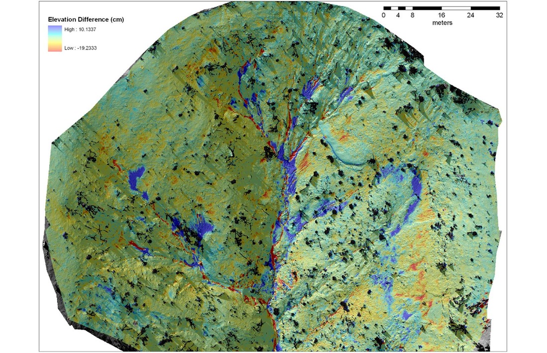
A 1cm resolution Digital Terrain Model of Difference showing deposition (blue) and erosion (red) after the first rainfall in a recently burned basin. December, 2008. Santa Barbra, California

Terrestrial Laser Scanning


I have 5 years experience working with terrestrial laser scanners and their data.  Founder of Clarity Scanning.  ClarityScanning.com 


Picture
Terrestrial Laser Scanning location in a debris basin. November, 2010. Pasadena, California.

GIS Consulting


I provide GIS consultingservers


Picture
Tree stand shown with topography, water features and tree canopy (darker green represents higher tree heights)
Thad Wester - Florence, SC - 2012